


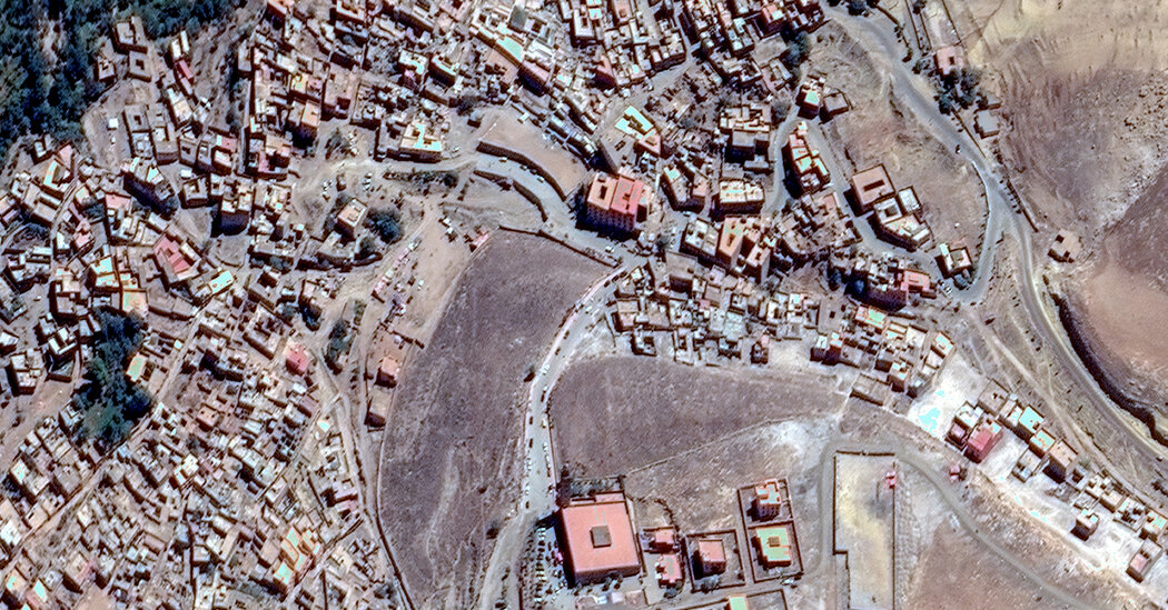
Just before sunrise on Monday, a satellite peered down on regions of Morocco that had been damaged by an earthquake Friday night. The data it gathered from 430 miles above Earth is offering scientists critical clues that will help unravel the mechanics behind the quake, including pinning down the specific fault that ruptured.
Key data came from Sentinel-1a, one of a group of satellites launched by the European Space Agency that pass around the Earth every 12 days, mapping out the surface. The satellite relies on radar to measure tiny shifts in the ground toward or away from the orbiting craft, said Tim Wright, a geophysicist at the University of Leeds in England. The technique is known as InSAR and allows scientists to compare the data collected before and after the quake to assess the three dimensional movement of the land around a fault with almost millimeter accuracy.
Analysis of the data in Morocco indicates two types of movement: The land on one side shifted horizontally relative to the other, known as strike-slip, as well as upward relative to the other, known as a reverse thrust.
By comparing the observed movement to models, Judith Hubbard and Kyle Bradley, geologists at Cornell University, found hints that the fault responsible may be an ancient northward-dipping fracture known as the Tizi n’Test fault.
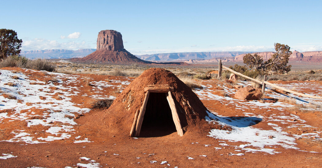
The structure traces its history back hundreds of millions of years and “has been active at various times in the deep past,” Dr. Hubbard said. Lands shifted along the fault as the supercontinent of Pangaea assembled around 300 million years ago, then again as it later broke apart. The fault was also occasionally active as the High Atlas Mountains formed in what is now Morocco, she said. But it has not been active in recent history.
Ancient fractures, however, create weaknesses in the landscape, said Wendy Bohon, an earthquake geologist. So under just the right conditions, the fault can rupture again, a phenomenon called reactivation. That appears to be what happened Friday night in Morocco.
Plots of the InSAR data appear as colorful psychedelic-looking bands across Morocco’s surface. The closer the bands of color are, the larger the ground shift. Often, the colors cluster, forming a distinct trace along where an earthquake cracks through to the surface. But the feature was conspicuously absent in the Moroccan plots, Dr. Wright said. The absence indicates that the Moroccan quake, which started some 11 miles below ground, didn’t crack through to the surface.
These types of quakes, known as blind earthquakes, are particularly tricky to study.
“It’s a lot more complicated to figure out exactly what’s happening on a fault when it’s not actually something we can see and touch,” Dr. Bohon said.
These initial analyses are a big step toward understanding the dire events that transpired in Morocco, and could help scientists better understand future risks. But additional analysis and collection of data will help scientists further pin down details about the quake.
More help for studying the complexity of earthquakes may also be on the horizon, according to Dr. Wright. Early next year, NISAR, a joint mission between NASA and the Indian Space Research Organization, will add another orbiter to the skies that can study tectonic events on Earth.
“The more satellites we have, the quicker we can respond to an event,” Dr. Wright said.